
Long before Post Falls had a name, a mill, or a dam, this stretch of the Spokane River already had one. The Coeur d'Alene people, the Schitsu'umsh, called the place Q'emiln, pronounced ka-mee-lin. Kootenai County's history of Post Falls puts it plainly: the town grew on the site of the Coeur d'Alene village of Q'emiln, a name the county translates as "throat of the river." For Black Bay readers who drive past Q'emiln Park every week, that is worth pausing over. The oldest name for our riverfront is not Post, or falls, or bay. It is a tribal word for the place where the river narrows and rushes through rock.
In the Coeur d'Alene Tribe's own place-name record, preserved in the University of Idaho's Lewis and Clark Rediscovery Project, Q'emiln means simply "throat," and the name carries a story. Tribal accounts told of Water Mysteries, beings who lived in the lakes and rivers and traveled by underground passages between waters. One well-known passage, the record says, linked Hayden Lake with Post Falls, and a traveler pulled down from his canoe in Hayden Lake was said to come out at Q'emiln. Read as geography, the story remembers how tightly these waters are connected. Read as history, it shows a people who knew this river system intimately, long before anyone measured it for mill power.
That knowledge came from living by the water year after year. The Tribe's own cultural history notes that Coeur d'Alene villages were established along the Coeur d'Alene, St. Joe, Clark Fork, and Spokane Rivers, with permanent sites on the shores of Lake Coeur d'Alene, Lake Pend Oreille, and Hayden Lake. The rivers were the travel network between those villages, navigable by canoe for most of the year, and the falls along them were gathering destinations. Q'emiln sat right in that network, at the outlet country below the lake and beside a falls that would later draw a mill builder from Illinois.
That builder met resistance, and negotiation, at Q'emiln itself. Moses Seltice, father of Chief Andrew Seltice, lived in the Post Falls area known as Q'emiln, and accounts drawn from both tribal and settler sources say Frederick Post approached Moses Seltice many times about the sale of the lands around the falls before any agreement was reached. The two cultures, as one local history column summarizing those accounts puts it, viewed land ownership and land use differently, and that difference did not end with a signature. It is part of why the village name deserves to be remembered accurately, and on its own terms.
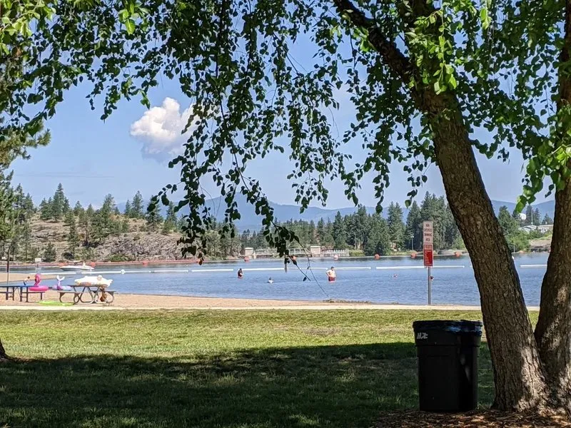
Today the name survives where residents swim, launch boats, and walk riverside trails. Q'emiln Park, south of the Spokane River at the end of the Spokane Street Bridge, carries the village name into daily life in Post Falls, and the community forest trails continue from it along the river. Most visitors come for the beach and the shade. But the sign at the entrance is also a history lesson: before this was a park, or a town, it was a village at the throat of the river, and the people who named it are still here, still telling its story.
- Log in to post comments